Wyoming /
Alkali Draw WSA
Alkali Draw WSA
Wyoming ·
Overview
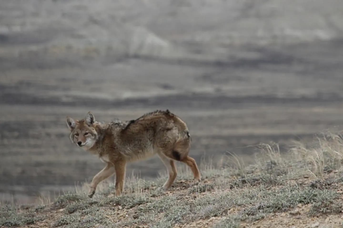
The Alkali Draw WSA encompasses 16,990 acres of BLM-administered land and 640 acres of state land. The study area includes a portion of the Red Desert Area. Alkali Draw in the main drainage running eastwardly from the Bush Rim and Steamboat Mountain. A series of smaller draws creates a washboard topographic effect. Big sagebrush and grease wood are the principle vegetative species. This area offers primitive and unconfined recreation such as hiking, horseback riding, camping, photography and sightseeing. Some small caves are found in the area and offer opportunity for recreation. The rims and cliff escarpments provide some non-technical climbing opportunities and challenging hikes. This is a fee-free area. Portions of the boundary road area ADA accessible.
Fee range
Fee unavailable
Season
Seasonal — contact for dates
Reservable
No
Sites available
Tent-focused
Amenities
Activities
Map & Nearby
Nearest town
Sweetwater County, WY
Nearest major city
Denver, CO
~257 miles away
Weather
Weather — coming soon
Live forecast widget arriving in a future update.
Reviews
Be the first to review this campground. Reviews and saved lists arrive in Phase 2.