Maryland /
Captain John Smith Chesapeake National Historic Trail
Captain John Smith Chesapeake National Historic Trail
Maryland ·
Overview
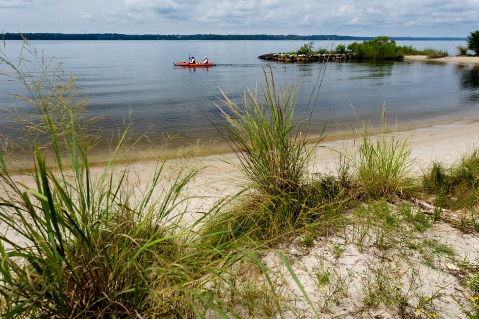
The Captain John Smith Chesapeake National Historic Trail is a series of water routes extending approximately 3,000 miles along the Chesapeake Bay, the nation's largest estuary. These historic routes trace the 1607 to 1609 voyages of Captain John Smith as he charted the land and waterways of the Chesapeake. People first arrived in the Chesapeake Bay during the last ice age. As glaciers melted, diverse societies learned to thrive in a world of water. When Englishman Captain John Smith explored the Chesapeake Bay in 1608, he documented hundreds of American Indian communities and created a map of the Chesapeake Bay region. Today, dozens of sites on his map are archeological treasures and sacred sites for tribal citizens. Come join us on the shores of the Chesapeake Bay! Douglas Point is a water stop for this water trail at Blue Bay. The shoreline provides access to the +2 miles of trails including the Potomac Heritage National Scenic Trail and the historic Chiles Homesite with interpretive signage. There are picnic facilities at Blue Bay overlook, with a stunning view of the Potomac River. During your stop at the Blue Banks shoreline, test your luck at finding shark teeth and other fossils. Flickr Album
Fee range
Fee unavailable
Season
Seasonal — contact for dates
Reservable
No
Sites available
Tent-focused
Amenities
Activities
Map & Nearby
Nearest town
Charles County, MD
Nearest major city
New York, NY
~233 miles away
Weather
Weather — coming soon
Live forecast widget arriving in a future update.
Reviews
Be the first to review this campground. Reviews and saved lists arrive in Phase 2.